
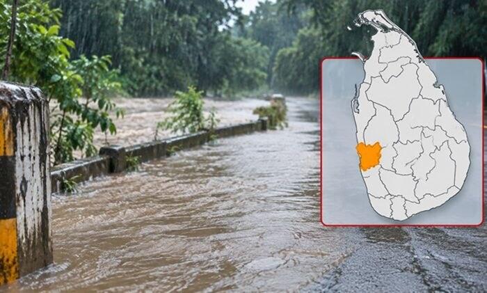
The Irrigation Department has issued an amber-level flood warning for low-lying areas in nine Divisional Secretariat divisions of the Gampaha District, as water levels in the Attanagalu Oya rise.
The warning covers Divulapitiya, Mirigama, Attanagalla, Mahara, Gampaha, Minuwangoda, Ja-Ela, Katana and Wattala.
The department said significant rainfall in the upper and middle catchment areas of the Attanagalu Oya Basin, together with the start of water releases through the spill gates of the Basnagoda Reservoir, has raised the river’s level.
Readings at river gauging stations point to possible flooding in low-lying areas along the Attanagalu Oya and Uruwal Oya valleys in the coming hours, the department said.
It urged residents of the affected areas, and motorists using roads in these locations, to exercise extreme caution. It has also asked disaster management authorities to take the necessary precautionary measures to reduce the risk.
The warning was issued at 12.30 p.m. on Monday 9 November and remains valid until 12.30 p.m. on Tuesday 10 November.
Background
The Attanagalu Oya is one of the main rivers of the Gampaha District. It flows through the district towards the west coast, and communities along its banks and those of its tributaries have faced flooding after heavy rain in previous years.
Reservoirs such as Basnagoda are opened through spill gates when inflows rise, so that the water level behind the dam stays within safe limits. The water released adds to the flow downstream, which is why rainfall in the upper catchment can raise river levels in towns some distance away.
The Irrigation Department issues flood warnings in stages according to river gauge readings. An amber warning is an alert that flooding is possible and that people in low-lying areas should be ready to act, and it is a lower level than a warning that flooding is under way.
What it means
Residents of the nine divisions who live near the Attanagalu Oya and Uruwal Oya, or in low-lying areas, may wish to keep watch on official updates over the next 24 hours, and move belongings and vehicles to higher ground if water begins to rise.
Motorists are being asked to take care on roads in these areas, where water may cover the carriageway quickly and depth can be hard to judge. Drivers are generally advised not to attempt to cross flooded sections of road.
The Disaster Management Centre and the Irrigation Department publish updated warnings as river levels change, and residents can follow these through official announcements.